Upper Walla Walla River Assessment and Action Plan
Assessment of existing conditions in the upper Walla Walla watershed, including LiDAR. Also includes a development of a restoration prioritization framework.
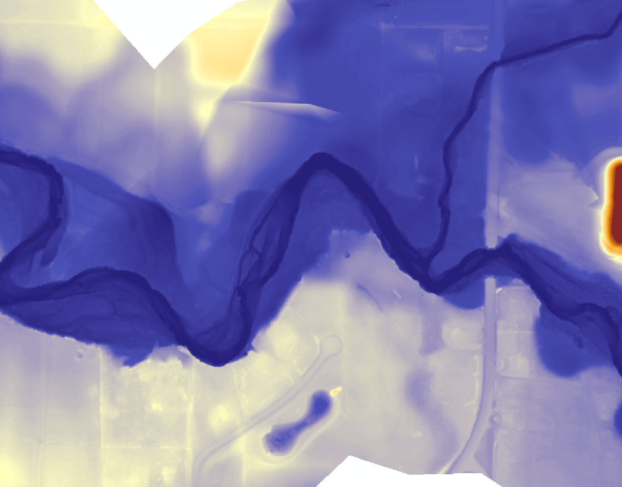
Assessment of upper Walla Walla watershed, including LiDAR. The data will be used for a variety of purposes including updating topographic maps, hydrologic modeling, development of habitat restoration projects and habitat change detection analysis.
Project Lead: CTUIR
Project Collaborators: Oregon Department of Fish and Wildlife, Washington Department of Fish and Wildlife, Washington Department of Ecology, Oregon Department of Environmental Quality, Bonneville Power Administration, Walla Walla Basin Watershed Council, Bureau of Land Management, US Forest Service, Walla Walla County Conservation District, Walla Walla County, Umatilla County, Tri State Steelheaders
First Foods this project targets
| Water | |
| Salmon | |
| Deer | |
| Roots | |
| Berries |
River Vision Touchstones this project targets
| Hydrology | |
| Geomorphology | |
| Connectivity | |
| Aquatic Biota | |
| Riparian Vegetation |
Project Funders
| Funder | Funding Amount |
|---|---|
| Bonneville Power Administration | $567,503 |
File Library
| Title | File | Description |
|---|
Image Gallery
| Title | File | Description |
|---|